The Lauwerszee was a bay in the north of the Netherlands.
It was named after the river Lauwers which flowed along the border between the provinces of Groningen and Friesland.
The Lauwerszee arose during the flood disaster of 1280.
Many plans were made to shut this inland sea off from the ocean, but these were not persevered with, but parts were piecemeal empoldered, gradually reducing it from a large two-fanged estuary to the nearly-square inlet seen on recent maps.
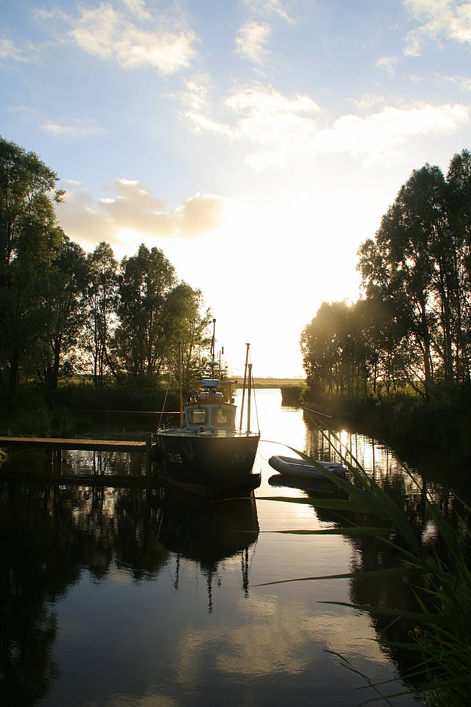
After the flood disaster of 1953 it was decided to start draining it. In 1960, the decision to drain the Lauwerszee was adopted, and started with making a 13 kilometres long dike with sluices and a canal lock. Part way along the dike is a new harbour called Lauwersoog. On 25 May 1969 the sea was shut off; since then has been called Lauwersmeer. At the time of the enclosing the Lauwers river for a long time no longer ended in the sea.
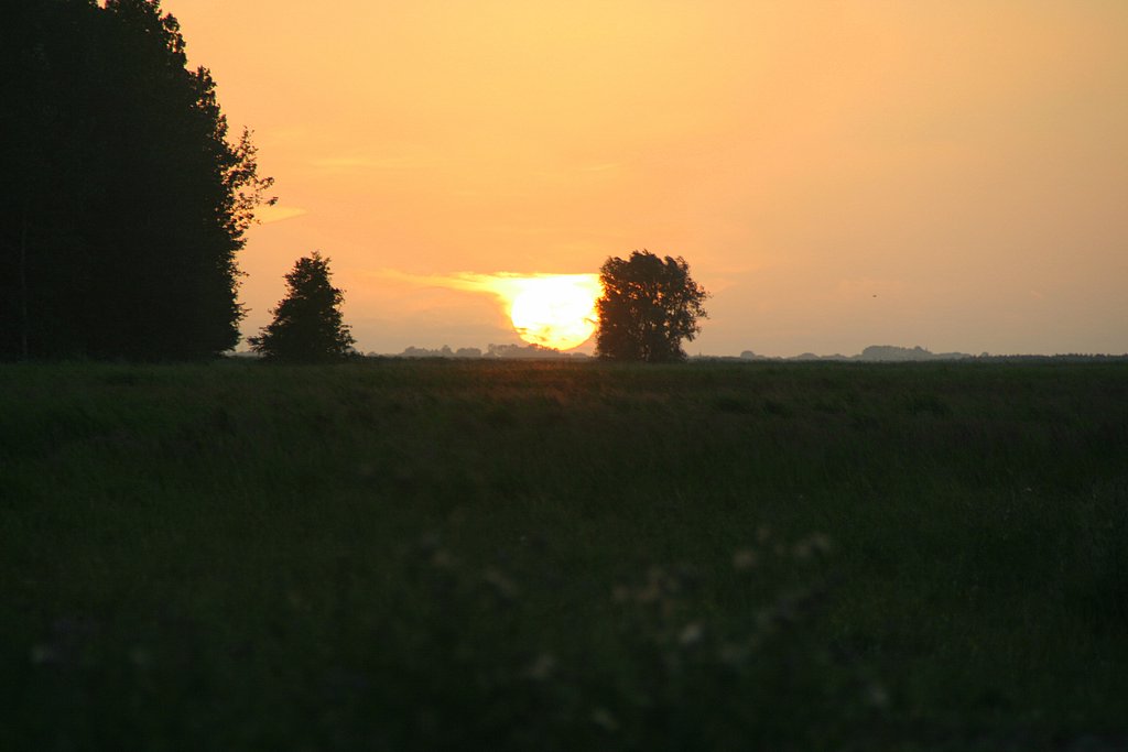
The Reitdiep and the Dokkumerdiep and the Ee flowed, however, into the sea. Because the Lauwerszee became a freshwater lake, nature changed in the area and a new fauna and flora arose in the area. For protection of this new young nature area, on 12 November 2003 it was decided to appoint the Lauwersmeer as a national park. The ferry to Schiermonnikoog now goes from Lauwersoog; before this empoldering it went from Oostmahorn.
There is controversy whether to spell the name as "Lauwersee" or "Lauwerszee". Some older maps have spelled it as "Lauwerzee".


